Farming in Stone
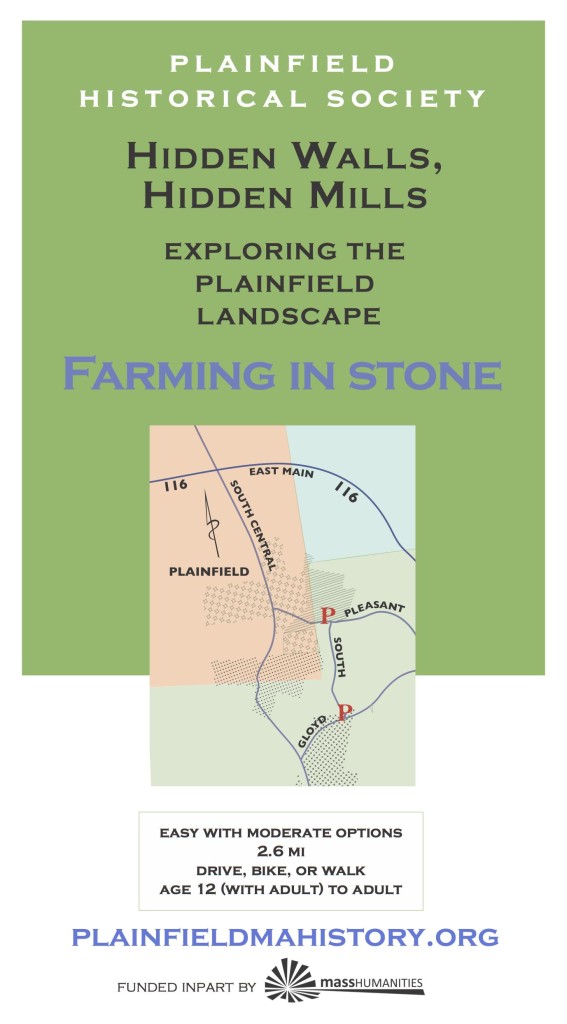
Click here for Farming in Stone map
If you till a New England field for fifty years they say, you will have reaped all the stones you are going to get. They are all around us, stacked into useful configurations. Learn about the mixed economies of farming and small factories during the last two centuries. Explore the many uses for stones and discover them in the landscape. Walk from one historic farm to another, visiting an old cemetery along the way and ponder Ziba and Huldah White’s immortalized marital dispute. If you stop and linger a while the turkeys may join you.
This is a DIY adventure. Farming in Stone is the most complex map of the five Hidden Walls Hidden Mills adventures, and the adventure relies heavily on your exploration of it. The terrain you will be traversing lies at the confluence of two of the historic land grants that make up Plainfield, and many of the walls indicate boundaries that were drawn on maps in the middle of the eighteenth century. If you just take the walk you will also have a wonderful time, we think.
★ Start at Guyette Farm and walk on a dirt road to the boundary between Manda and Thatcher farms and back (1.8 miles), or circle the block (2.7 miles ) by car, bike, or on foot (be careful on Central Street). Remember that stone walls and gravestones are protected. Roadsides, Dyer Cemetery and Guyette Farm (managed by the Franklin Land Trust) are publicly accessible. While we ask you to always be respectful of private property, it is also okay to get off the road and have a closer look at a feature that isn’t right near a house or a farm field that, or walk in the woods on an old road. Guyette Farm has an interpreted trail.
P: From the Plainfield Town Hall, turn left (east)on 116. After 0.3 miles, right on South Central Street. After 2.2 miles left onto Gloyd. Park after 0.4 miles on the right at Guyette Farm (best). If you decide to park at the cemetery, pull your car well off the road.
Printing Farming: Click on the brochure (R) to download (3 MB). Use 8 1/2 x 14 (legal) size paper, portrait orientation; turn off automatic sizing, scaling, and text orientation (important*); fold in three with the map on the inside. You should be able to fold the text up and down to consult it and map in turn. [*Some newer printers want to flip the text panels on the text side. Make sure they remain upside down in relation to the map.]
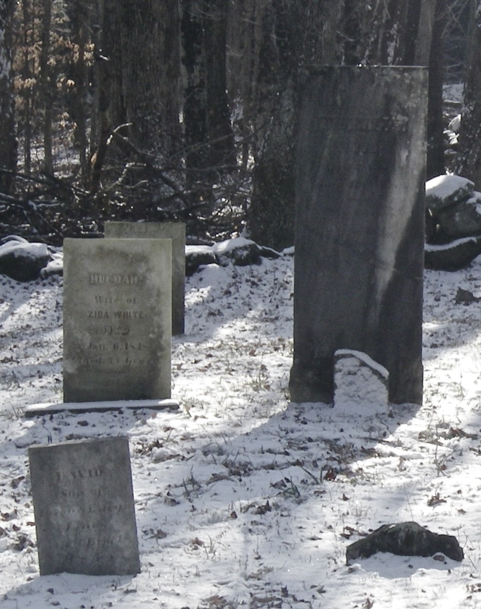
Gravestones of Huldah and Ziba White
Dear Guest — a warning and a request:
Be careful: Wear sturdy shoes. Stone walls, cellar holes and their wells, and mill foundations are breathtaking and treacherous works of art. Do not ever climb on, in, or over them. If you make a wall come down, you will have destroyed it forever and you will be hurt. Cellphone: not so much.
Protect yourself against TICKS. You know what to do. If not: CDC
Walk softly. Pack out what you pack in, but leave rocks, plans, and any older metal or glass you happen to come across for the next adventurer to find. Recent trash: please pack it out.
Respect private land. The tours take you on publicly accessible land but the lot next door may be private. In general, if it isn’t posted you may go, but you should ask if you want to you to walk across someone’s field. ~ Thank you and enjoy yourself!